Houses at Gisburn Road / Foster Road junction
Introduction
The photograph on this page of Houses at Gisburn Road / Foster Road junction by Roger Templeman as part of the Geograph project.
The Geograph project started in 2005 with the aim of publishing, organising and preserving representative images for every square kilometre of Great Britain, Ireland and the Isle of Man.

There are currently over 7.5m images from over 14,400 individuals and you can help contribute to the project by visiting https://www.geograph.org.uk
Houses at Gisburn Road / Foster Road junction
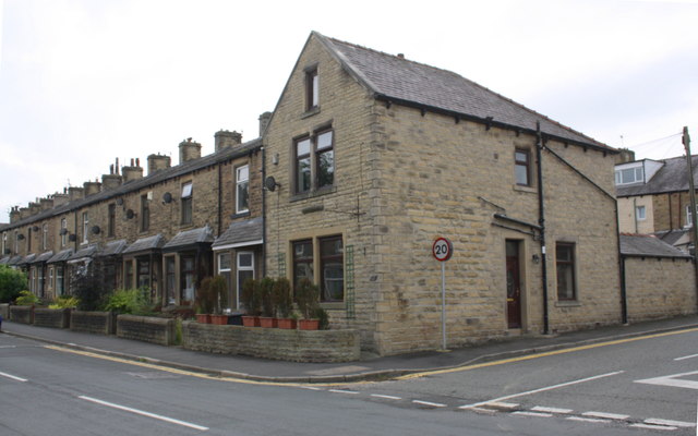
Image: © Roger Templeman Taken: 22 Aug 2015
There is an OS benchmark Image on the corner of nearest house, right hand face
Images are licensed for reuse under creativecommons.org/licenses/by-sa/2.0
Image Location
Latitude
53.923479
Longitude
-2.193655