Cleddon road junction
Introduction
The photograph on this page of Cleddon road junction by Roy Parkhouse as part of the Geograph project.
The Geograph project started in 2005 with the aim of publishing, organising and preserving representative images for every square kilometre of Great Britain, Ireland and the Isle of Man.

There are currently over 7.5m images from over 14,400 individuals and you can help contribute to the project by visiting https://www.geograph.org.uk
Cleddon road junction
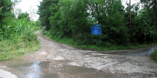
Image: © Roy Parkhouse Taken: 29 Jun 2007
The road from Trellech to Cleddon and Cleddon Falls runs left to right in this photograph and is, as the sign states, unsuitable for heavy goods vehicles. The track in the middle leads to Beacon Hill.
Images are licensed for reuse under creativecommons.org/licenses/by-sa/2.0
Image Location
Latitude
51.731694
Longitude
-2.705118