Girton: a sunny corner
Introduction
The photograph on this page of Girton: a sunny corner by John Sutton as part of the Geograph project.
The Geograph project started in 2005 with the aim of publishing, organising and preserving representative images for every square kilometre of Great Britain, Ireland and the Isle of Man.

There are currently over 7.5m images from over 14,400 individuals and you can help contribute to the project by visiting https://www.geograph.org.uk
Girton: a sunny corner
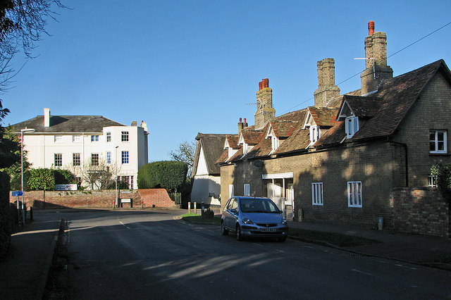
Image: © John Sutton Taken: 28 Jan 2016
Sharp right for Oakington and the northern end of the village. The white house, once the rectory, dates from about 1730 - for the Grade II listing text see http://www.britishlistedbuildings.co.uk/en-50814-cambridge-academy-of-english-girton-cambr#.Vqqt6CiT7ZY .
Images are licensed for reuse under creativecommons.org/licenses/by-sa/2.0
Image Location
Latitude
52.240972
Longitude
0.08134