The Kings Lock public house
Introduction
The photograph on this page of The Kings Lock public house by Mat Fascione as part of the Geograph project.
The Geograph project started in 2005 with the aim of publishing, organising and preserving representative images for every square kilometre of Great Britain, Ireland and the Isle of Man.

There are currently over 7.5m images from over 14,400 individuals and you can help contribute to the project by visiting https://www.geograph.org.uk
The Kings Lock public house
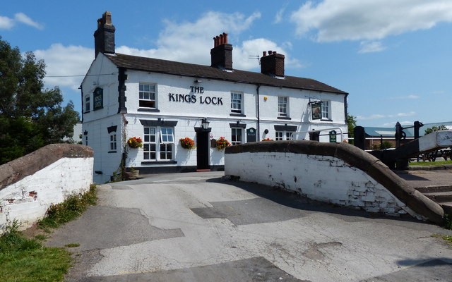
Image: © Mat Fascione Taken: 15 Jul 2015
Next to King's Lock No 71 and Kings Lock Bridge No 167, along the Trent & Mersey Canal in Middlewich.
Images are licensed for reuse under creativecommons.org/licenses/by-sa/2.0
Image Location
Latitude
53.186949
Longitude
-2.439786