Ploughland near Oakington
Introduction
The photograph on this page of Ploughland near Oakington by John Sutton as part of the Geograph project.
The Geograph project started in 2005 with the aim of publishing, organising and preserving representative images for every square kilometre of Great Britain, Ireland and the Isle of Man.

There are currently over 7.5m images from over 14,400 individuals and you can help contribute to the project by visiting https://www.geograph.org.uk
Ploughland near Oakington
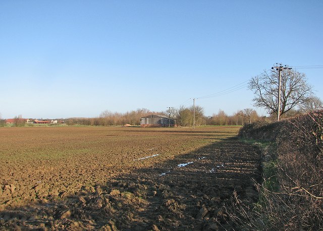
Image: © John Sutton Taken: 28 Jan 2016
Oakington Business Park, the former Phypers Farm, is on the extreme left of this winter-morning view from the Dry Drayton Road end of a bridle path to Longstanton.
Images are licensed for reuse under creativecommons.org/licenses/by-sa/2.0
Image Location
Latitude
52.253245
Longitude
0.053198