Bridleway and bridge
Introduction
The photograph on this page of Bridleway and bridge by John Sutton as part of the Geograph project.
The Geograph project started in 2005 with the aim of publishing, organising and preserving representative images for every square kilometre of Great Britain, Ireland and the Isle of Man.

There are currently over 7.5m images from over 14,400 individuals and you can help contribute to the project by visiting https://www.geograph.org.uk
Bridleway and bridge
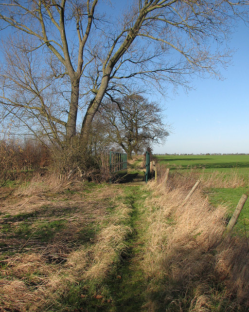
Image: © John Sutton Taken: 28 Jan 2016
This bridleway - this part of which is not marked on current 1:50,000 maps - runs from Dry Drayton Road (behind the camera) to Longstanton. The bridge rails look quite new.
Images are licensed for reuse under creativecommons.org/licenses/by-sa/2.0
Image Location
Latitude
52.253023
Longitude
0.050404