Sookholme Lane, Market Warsop, Notts.
Introduction
The photograph on this page of Sookholme Lane, Market Warsop, Notts. by David Hallam-Jones as part of the Geograph project.
The Geograph project started in 2005 with the aim of publishing, organising and preserving representative images for every square kilometre of Great Britain, Ireland and the Isle of Man.

There are currently over 7.5m images from over 14,400 individuals and you can help contribute to the project by visiting https://www.geograph.org.uk
Sookholme Lane, Market Warsop, Notts.
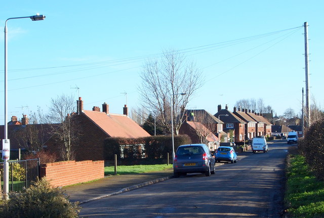
Image: © David Hallam-Jones Taken: 28 Jan 2016
The eastern end of Sookholme Lane. This is the point at which the lane changes from being a rural lane passing through agricultural land to a residential road. The hamlet of Sookholme lies 2-2.5 miles behind the photographer and the A60 (the main Market Warsop - Mansfield road) 1/2 mile ahead.
Images are licensed for reuse under creativecommons.org/licenses/by-sa/2.0
Image Location
Latitude
53.202532
Longitude
-1.162949