Heathland beside Quaking Houses
Introduction
The photograph on this page of Heathland beside Quaking Houses by Trevor Littlewood as part of the Geograph project.
The Geograph project started in 2005 with the aim of publishing, organising and preserving representative images for every square kilometre of Great Britain, Ireland and the Isle of Man.

There are currently over 7.5m images from over 14,400 individuals and you can help contribute to the project by visiting https://www.geograph.org.uk
Heathland beside Quaking Houses
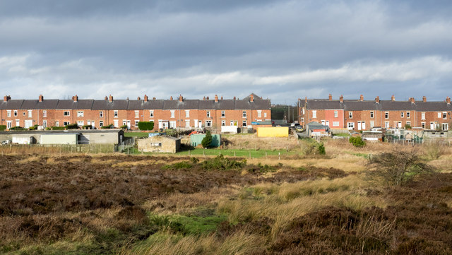
Image: © Trevor Littlewood Taken: 28 Jan 2016
Quaking Houses is an old mining village in County Durham; its housing is mainly terraced. The name is suspected to derive from the locale being settled originally by Quakers. The lowland heathland is an SSSI and work is ongoing under the auspices of Durham Wildlife Trust (early 2016) to preserve the vegetation type.
Images are licensed for reuse under creativecommons.org/licenses/by-sa/2.0
Image Location
Latitude
54.850035
Longitude
-1.709043