On the eastern edge of Leeds MDC
Introduction
The photograph on this page of On the eastern edge of Leeds MDC by Christine Johnstone as part of the Geograph project.
The Geograph project started in 2005 with the aim of publishing, organising and preserving representative images for every square kilometre of Great Britain, Ireland and the Isle of Man.

There are currently over 7.5m images from over 14,400 individuals and you can help contribute to the project by visiting https://www.geograph.org.uk
On the eastern edge of Leeds MDC
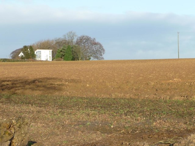
Image: © Christine Johnstone Taken: 28 Jan 2016
Farmland north of Lotherton Park Farm. The distant trees mark the eastern end of earthworks called The Rein.
Images are licensed for reuse under creativecommons.org/licenses/by-sa/2.0
Image Location
Latitude
53.821631
Longitude
-1.31214