17 Stamford Street
Introduction
The photograph on this page of 17 Stamford Street by Stephen Richards as part of the Geograph project.
The Geograph project started in 2005 with the aim of publishing, organising and preserving representative images for every square kilometre of Great Britain, Ireland and the Isle of Man.

There are currently over 7.5m images from over 14,400 individuals and you can help contribute to the project by visiting https://www.geograph.org.uk
17 Stamford Street
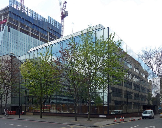
Image: © Stephen Richards Taken: 5 May 2013
Aka Wakefield House. Slick mirrored glass block doing its best to be invisible. Disused at the time. It may be demolished to be replaced by yet another tower (an example of the genre, 240 Blackfriars Road, can be seen going up behind). Update: by 2016 sacrificed for the 20 Blackfriars Road development (Image]).
Images are licensed for reuse under creativecommons.org/licenses/by-sa/2.0
Image Location
Latitude
51.506951
Longitude
-0.105465