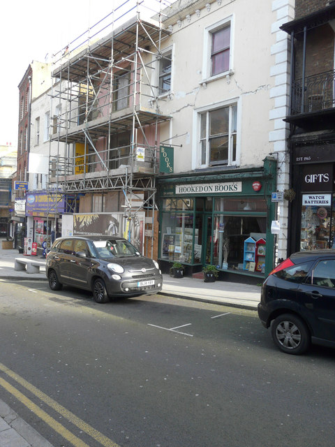
Reconstruction of 19, High Street
Introduction
The photograph on this page of Reconstruction of 19, High Street by John Baker as part of the Geograph project.
The Geograph project started in 2005 with the aim of publishing, organising and preserving representative images for every square kilometre of Great Britain, Ireland and the Isle of Man.
There are currently over 7.5m images from over 14,400 individuals and you can help contribute to the project by visiting https://www.geograph.org.uk

Image: © John Baker Taken: 13 Jan 2016
Planning permission has been granted by Thanet District Council under application number F/TH/11/0615 for the “change of use from public house (A4), function rooms and one self contained flat, to a mixed use comprising a restaurant and bar (A3+A4), an art gallery (D1), art studios (B1) and two self contained flats, together with the erection of a third floor roof extension, alterations to doors and fenestration, addition of disabled access, and the insertion of decorative railings to front elevation”. According to Paul Skelton, this was a former public house that was originally called the Island Tavern before being known as the Cottage or as the Old Cottage. He believes this establishment closed in December 2007 http://www.dover-kent.com/Pubs/Cottage-Margate.html

