Access control on the Caldew Cycleway
Introduction
The photograph on this page of Access control on the Caldew Cycleway by Oliver Dixon as part of the Geograph project.
The Geograph project started in 2005 with the aim of publishing, organising and preserving representative images for every square kilometre of Great Britain, Ireland and the Isle of Man.

There are currently over 7.5m images from over 14,400 individuals and you can help contribute to the project by visiting https://www.geograph.org.uk
Access control on the Caldew Cycleway
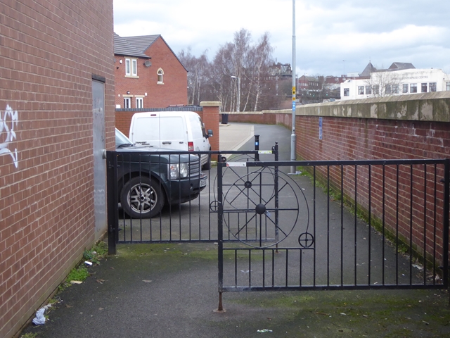
Image: © Oliver Dixon Taken: 25 Jan 2016
Hopefully sufficient to deter motor bikes! Thomas Street is to the left. On the right is a flood wall to protect the housing from flooding by the River Caldew.
Images are licensed for reuse under creativecommons.org/licenses/by-sa/2.0
Image Location
Latitude
54.888551
Longitude
-2.937352