Chapel and burial ground, Caerwent
Introduction
The photograph on this page of Chapel and burial ground, Caerwent by Jaggery as part of the Geograph project.
The Geograph project started in 2005 with the aim of publishing, organising and preserving representative images for every square kilometre of Great Britain, Ireland and the Isle of Man.

There are currently over 7.5m images from over 14,400 individuals and you can help contribute to the project by visiting https://www.geograph.org.uk
Chapel and burial ground, Caerwent
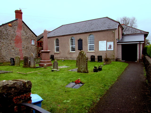
Image: © Jaggery Taken: 24 Jan 2016
Caerwent Evangelical Baptist Chapel is on the east side of School Lane, about 100 metres south of the A48. The chapel's website states that the chapel has been a place of worship since 1815.
Images are licensed for reuse under creativecommons.org/licenses/by-sa/2.0
Image Location
Latitude
51.612607
Longitude
-2.768982