Start of the Caldew Cycleway
Introduction
The photograph on this page of Start of the Caldew Cycleway by Oliver Dixon as part of the Geograph project.
The Geograph project started in 2005 with the aim of publishing, organising and preserving representative images for every square kilometre of Great Britain, Ireland and the Isle of Man.

There are currently over 7.5m images from over 14,400 individuals and you can help contribute to the project by visiting https://www.geograph.org.uk
Start of the Caldew Cycleway
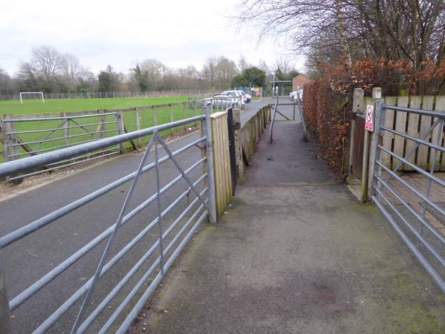
Image: © Oliver Dixon Taken: 25 Jan 2016
At the southern end, a short length of path beside Dalston Primary School must be walked, before getting onto a fine tarmac path which runs alongside the River Caldew for some 9 km to Carlisle. It forms part of both National Cycle Route 7 (Inverness to Sunderland) and Route 10 (Cockermouth to North Shields), neither of which are in the least bit direct!
Images are licensed for reuse under creativecommons.org/licenses/by-sa/2.0
Image Location
Latitude
54.843988
Longitude
-2.981479