Under Clarilaw Hill
Introduction
The photograph on this page of Under Clarilaw Hill by Richard Webb as part of the Geograph project.
The Geograph project started in 2005 with the aim of publishing, organising and preserving representative images for every square kilometre of Great Britain, Ireland and the Isle of Man.

There are currently over 7.5m images from over 14,400 individuals and you can help contribute to the project by visiting https://www.geograph.org.uk
Under Clarilaw Hill
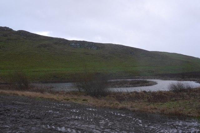
Image: © Richard Webb Taken: 26 Jan 2016
A wet afternoon near Hawick. The water is a flight pond, there were plenty of temporary pools nearby due to the rain.
Images are licensed for reuse under creativecommons.org/licenses/by-sa/2.0
Image Location
Latitude
55.451895
Longitude
-2.756983