East Hill, Woking
Introduction
The photograph on this page of East Hill, Woking by Alan Hunt as part of the Geograph project.
The Geograph project started in 2005 with the aim of publishing, organising and preserving representative images for every square kilometre of Great Britain, Ireland and the Isle of Man.

There are currently over 7.5m images from over 14,400 individuals and you can help contribute to the project by visiting https://www.geograph.org.uk
East Hill, Woking
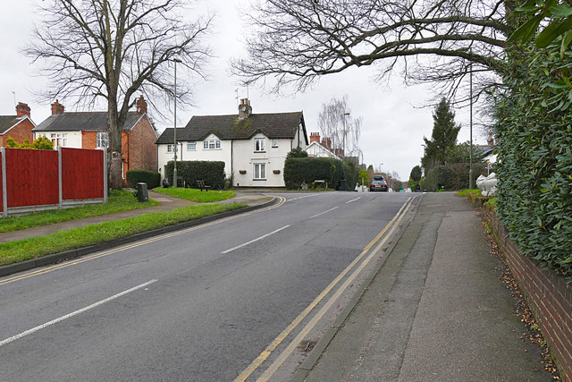
Image: © Alan Hunt Taken: 26 Jan 2016
The northwest end of East Hill in Maybury looking towards the junction with Sandy Lane. Over the brow of the hill the road is named College Road.
Images are licensed for reuse under creativecommons.org/licenses/by-sa/2.0
Image Location
Latitude
51.321776
Longitude
-0.537338