Looking upstream from the Bridge in the Millhoppers Reserve
Introduction
The photograph on this page of Looking upstream from the Bridge in the Millhoppers Reserve by Chris Reynolds as part of the Geograph project.
The Geograph project started in 2005 with the aim of publishing, organising and preserving representative images for every square kilometre of Great Britain, Ireland and the Isle of Man.

There are currently over 7.5m images from over 14,400 individuals and you can help contribute to the project by visiting https://www.geograph.org.uk
Looking upstream from the Bridge in the Millhoppers Reserve
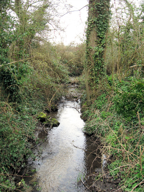
Image: © Chris Reynolds Taken: 28 Mar 2009
This part of the stream running through a small wooded area is clearly a man-made drainage ditch. See Image
Images are licensed for reuse under creativecommons.org/licenses/by-sa/2.0
Image Location


Leaflet Map data © OpenStreetMap
Latitude
51.826131
Longitude
-0.697368