End of the 40 zone on the A469 at the edge of Brithdir
Introduction
The photograph on this page of End of the 40 zone on the A469 at the edge of Brithdir by Jaggery as part of the Geograph project.
The Geograph project started in 2005 with the aim of publishing, organising and preserving representative images for every square kilometre of Great Britain, Ireland and the Isle of Man.

There are currently over 7.5m images from over 14,400 individuals and you can help contribute to the project by visiting https://www.geograph.org.uk
End of the 40 zone on the A469 at the edge of Brithdir
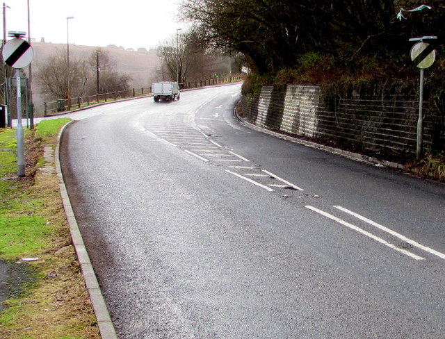
Image: © Jaggery Taken: 23 Jan 2016
Signs show that the National Speed Limit applies ahead, on the A469 towards Bargoed. The grey back of the Brithdir boundary sign http://www.geograph.org.uk/photo/4804310 is in the background on the left.
Images are licensed for reuse under creativecommons.org/licenses/by-sa/2.0
Image Location
Latitude
51.708235
Longitude
-3.228519