Myatt's Fields Park
Introduction
The photograph on this page of Myatt's Fields Park by Stephen Richards as part of the Geograph project.
The Geograph project started in 2005 with the aim of publishing, organising and preserving representative images for every square kilometre of Great Britain, Ireland and the Isle of Man.

There are currently over 7.5m images from over 14,400 individuals and you can help contribute to the project by visiting https://www.geograph.org.uk
Myatt's Fields Park
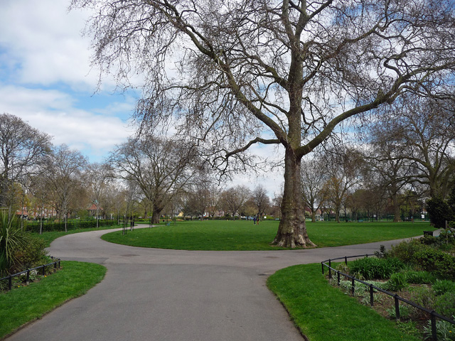
Image: © Stephen Richards Taken: 27 Apr 2013
A large plane tree at the west entrance. The land was given to the public by the Minet family in 1889 and the park retains a number of Victorian features.
Images are licensed for reuse under creativecommons.org/licenses/by-sa/2.0
Image Location


Leaflet Map data © OpenStreetMap
Latitude
51.47296
Longitude
-0.105577