Gate beside the Track
Introduction
The photograph on this page of Gate beside the Track by Bill Nicholls as part of the Geograph project.
The Geograph project started in 2005 with the aim of publishing, organising and preserving representative images for every square kilometre of Great Britain, Ireland and the Isle of Man.

There are currently over 7.5m images from over 14,400 individuals and you can help contribute to the project by visiting https://www.geograph.org.uk
Gate beside the Track
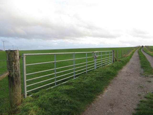
Image: © Bill Nicholls Taken: 31 Dec 2015
The gate and fenced off area are relatively new and fence off the cropped field so it can get used for livestock as well. The area beside the gate used to be known locally as the pit and was an old chalk quarry where the local kids played. It was filled in many years ago
Images are licensed for reuse under creativecommons.org/licenses/by-sa/2.0
Image Location


Leaflet Map data © OpenStreetMap
Latitude
51.568994
Longitude
-1.151581