Warsop Mill Vicinity, Church Warsop, Notts.
Introduction
The photograph on this page of Warsop Mill Vicinity, Church Warsop, Notts. by David Hallam-Jones as part of the Geograph project.
The Geograph project started in 2005 with the aim of publishing, organising and preserving representative images for every square kilometre of Great Britain, Ireland and the Isle of Man.

There are currently over 7.5m images from over 14,400 individuals and you can help contribute to the project by visiting https://www.geograph.org.uk
Warsop Mill Vicinity, Church Warsop, Notts.
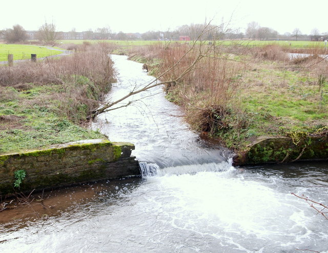
Image: © David Hallam-Jones Taken: 23 Jan 2016
The River Meden travelling towards Warsop Mill with the mill pond to its right. The 'green space' surrounding these two features are other parts of The Carrs Nature Reserve. The A60 is a stone's throw away to the left.
Images are licensed for reuse under creativecommons.org/licenses/by-sa/2.0
Image Location
Latitude
53.211071
Longitude
-1.150204