Love Lane Trading Estate
Introduction
The photograph on this page of Love Lane Trading Estate by Dave Bushell as part of the Geograph project.
The Geograph project started in 2005 with the aim of publishing, organising and preserving representative images for every square kilometre of Great Britain, Ireland and the Isle of Man.

There are currently over 7.5m images from over 14,400 individuals and you can help contribute to the project by visiting https://www.geograph.org.uk
Love Lane Trading Estate
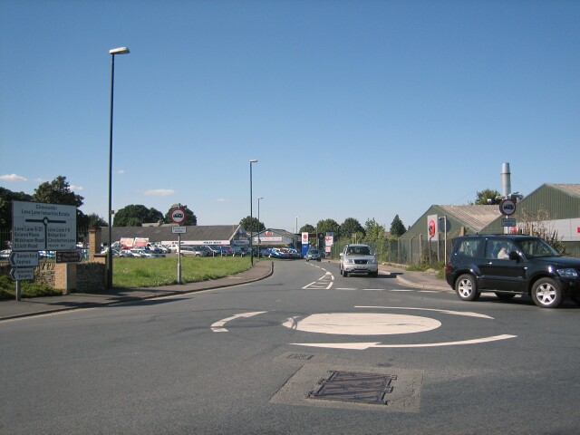
Image: © Dave Bushell Taken: 2 Sep 2005
An area of Cirencester composed mainly of commercial and light industrial development, some of it on the site of the former railway workshops.
Images are licensed for reuse under creativecommons.org/licenses/by-sa/2.0
Image Location


Leaflet Map data © OpenStreetMap
Latitude
51.703236
Longitude
-1.965223