Church Road, Church Warsop, Notts.
Introduction
The photograph on this page of Church Road, Church Warsop, Notts. by David Hallam-Jones as part of the Geograph project.
The Geograph project started in 2005 with the aim of publishing, organising and preserving representative images for every square kilometre of Great Britain, Ireland and the Isle of Man.

There are currently over 7.5m images from over 14,400 individuals and you can help contribute to the project by visiting https://www.geograph.org.uk
Church Road, Church Warsop, Notts.
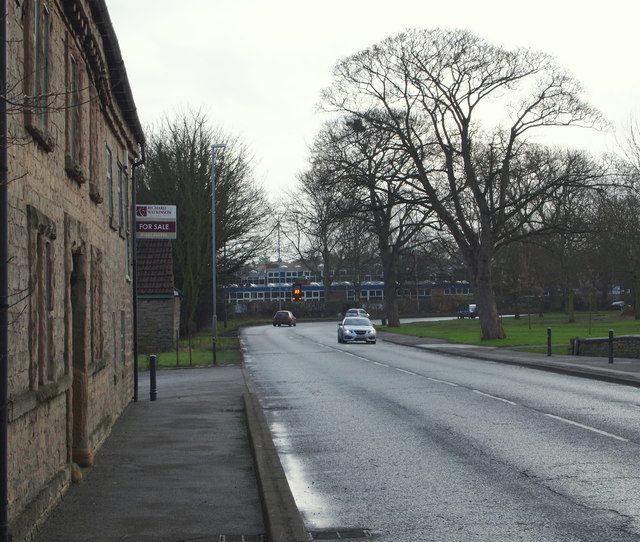
Image: © David Hallam-Jones Taken: 23 Jan 2016
With the Grade II-listed Warsop Mill (bearing a For Sale sign) on the left and the southern edge of The Carrs Nature Reserve on the right, this a view along the A60 towards Market Warsop with buildings belong to Meden School and Technology College in the distance.
Images are licensed for reuse under creativecommons.org/licenses/by-sa/2.0
Image Location
Latitude
53.21143
Longitude
-1.150048