Junction, Church Warsop, Notts.
Introduction
The photograph on this page of Junction, Church Warsop, Notts. by David Hallam-Jones as part of the Geograph project.
The Geograph project started in 2005 with the aim of publishing, organising and preserving representative images for every square kilometre of Great Britain, Ireland and the Isle of Man.

There are currently over 7.5m images from over 14,400 individuals and you can help contribute to the project by visiting https://www.geograph.org.uk
Junction, Church Warsop, Notts.
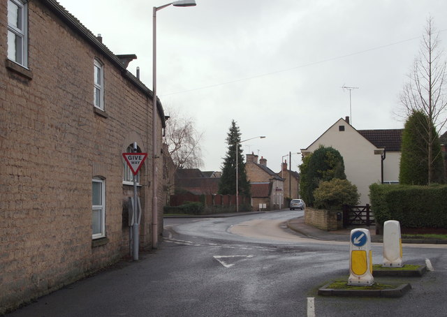
Image: © David Hallam-Jones Taken: 23 Jan 2016
Once past the "Give Way" sign here, at the western end of Manor Lane, users initially enter the southern end of Coggins Lane (on the right) before feeding into Eastlands Lane (ahead). The A60 (a.k.a. Church Road) lies 500 metres ahead.
Images are licensed for reuse under creativecommons.org/licenses/by-sa/2.0
Image Location
Latitude
53.213473
Longitude
-1.146563