Converted farm building, Iveston
Introduction
The photograph on this page of Converted farm building, Iveston by Robert Graham as part of the Geograph project.
The Geograph project started in 2005 with the aim of publishing, organising and preserving representative images for every square kilometre of Great Britain, Ireland and the Isle of Man.

There are currently over 7.5m images from over 14,400 individuals and you can help contribute to the project by visiting https://www.geograph.org.uk
Converted farm building, Iveston
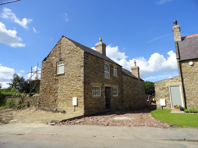
Image: © Robert Graham Taken: 11 Jun 2014
This C19 former byer beside Board Cottage at the west end of Iveston, is being converted to a residential property.
Images are licensed for reuse under creativecommons.org/licenses/by-sa/2.0
Image Location
Latitude
54.848313
Longitude
-1.789103