Approach to Road Bridge
Introduction
The photograph on this page of Approach to Road Bridge by Bonelli as part of the Geograph project.
The Geograph project started in 2005 with the aim of publishing, organising and preserving representative images for every square kilometre of Great Britain, Ireland and the Isle of Man.

There are currently over 7.5m images from over 14,400 individuals and you can help contribute to the project by visiting https://www.geograph.org.uk
Approach to Road Bridge
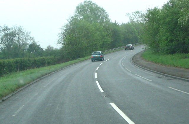
Image: © Bonelli Taken: Unknown
B4598 as it approaches bridge over the A40 dual carriageway. This road was the A40 prior to the Dual Carriageway. The wide cycle paths, both sides of the road extend from Abergavenny to Raglan
Images are licensed for reuse under creativecommons.org/licenses/by-sa/2.0
Image Location
Latitude
51.78478
Longitude
-2.95457