Church Street, Market Warsop, Notts.
Introduction
The photograph on this page of Church Street, Market Warsop, Notts. by David Hallam-Jones as part of the Geograph project.
The Geograph project started in 2005 with the aim of publishing, organising and preserving representative images for every square kilometre of Great Britain, Ireland and the Isle of Man.

There are currently over 7.5m images from over 14,400 individuals and you can help contribute to the project by visiting https://www.geograph.org.uk
Church Street, Market Warsop, Notts.
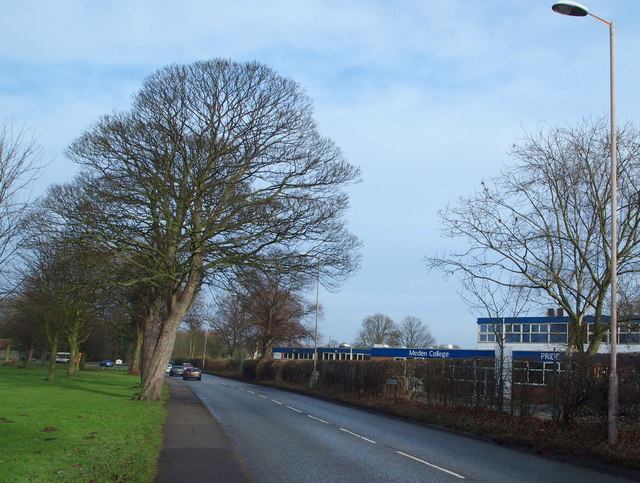
Image: © David Hallam-Jones Taken: 23 Jan 2016
At the midpoint along this road (the A60), Market Warsop's Church Street becomes Church Road, Church Warsop. On the right are buildings on the Meden School and Technology College site and opposite these, The Carrs, a local park and local nature reserve. The River Meden meanders through The Carrs. Church Warsop is a 3-4 minute walk ahead, with Market Warsop 4-5 minutes behind the photographer.
Images are licensed for reuse under creativecommons.org/licenses/by-sa/2.0
Image Location
Latitude
53.209004
Longitude
-1.150245