High Street, Market Warsop, Notts.
Introduction
The photograph on this page of High Street, Market Warsop, Notts. by David Hallam-Jones as part of the Geograph project.
The Geograph project started in 2005 with the aim of publishing, organising and preserving representative images for every square kilometre of Great Britain, Ireland and the Isle of Man.

There are currently over 7.5m images from over 14,400 individuals and you can help contribute to the project by visiting https://www.geograph.org.uk
High Street, Market Warsop, Notts.
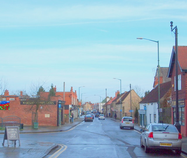
Image: © David Hallam-Jones Taken: 23 Jan 2016
A view from the cul-de-sac end of High Street. The site occupied by Grandma's Bakery, parallel with the second parked car on the right, is a 200 square metre plot identified by the local Council in January 2016 the site for a new housing development.
Images are licensed for reuse under creativecommons.org/licenses/by-sa/2.0
Image Location
Latitude
53.203911
Longitude
-1.154538