Track on St Cleer Downs
Introduction
The photograph on this page of Track on St Cleer Downs by Derek Harper as part of the Geograph project.
The Geograph project started in 2005 with the aim of publishing, organising and preserving representative images for every square kilometre of Great Britain, Ireland and the Isle of Man.

There are currently over 7.5m images from over 14,400 individuals and you can help contribute to the project by visiting https://www.geograph.org.uk
Track on St Cleer Downs
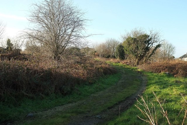
Image: © Derek Harper Taken: 20 Jan 2016
This leads to a covered reservoir in the north corner of the downs. Therefore this bit of the downs, although mapped as access land, is inaccessible.
Images are licensed for reuse under creativecommons.org/licenses/by-sa/2.0
Image Location
Latitude
50.484967
Longitude
-4.469024