Water tower at Heywood station
Introduction
The photograph on this page of Water tower at Heywood station by Jonathan Thacker as part of the Geograph project.
The Geograph project started in 2005 with the aim of publishing, organising and preserving representative images for every square kilometre of Great Britain, Ireland and the Isle of Man.

There are currently over 7.5m images from over 14,400 individuals and you can help contribute to the project by visiting https://www.geograph.org.uk
Water tower at Heywood station
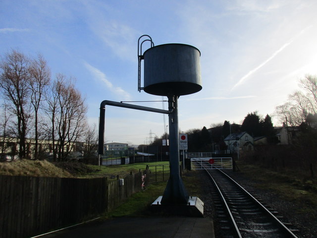
Image: © Jonathan Thacker Taken: 23 Jan 2016
The level crossing gates mark the end of the normal operating line of the East Lancashire Railway. Beyond lies a connection to Network Rail at Castleton. It is hoped that a passenger service will be eventually operated on this section.
Images are licensed for reuse under creativecommons.org/licenses/by-sa/2.0
Image Location


Leaflet Map data © OpenStreetMap
Latitude
53.588385
Longitude
-2.205713