Hetts Lane, Market Warsop, Notts.
Introduction
The photograph on this page of Hetts Lane, Market Warsop, Notts. by David Hallam-Jones as part of the Geograph project.
The Geograph project started in 2005 with the aim of publishing, organising and preserving representative images for every square kilometre of Great Britain, Ireland and the Isle of Man.

There are currently over 7.5m images from over 14,400 individuals and you can help contribute to the project by visiting https://www.geograph.org.uk
Hetts Lane, Market Warsop, Notts.
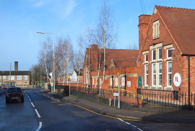
Image: © David Hallam-Jones Taken: 23 Jan 2016
The T junction with the A60, i.e. Church Street, is seen here with Hetts Lane Nursery and infants School on the right. The school was founded in 1905.
Images are licensed for reuse under creativecommons.org/licenses/by-sa/2.0
Image Location
Latitude
53.207567
Longitude
-1.150423