St Patrick's RC Church Clinkham Wood
Introduction
The photograph on this page of St Patrick's RC Church Clinkham Wood by David Dixon as part of the Geograph project.
The Geograph project started in 2005 with the aim of publishing, organising and preserving representative images for every square kilometre of Great Britain, Ireland and the Isle of Man.

There are currently over 7.5m images from over 14,400 individuals and you can help contribute to the project by visiting https://www.geograph.org.uk
St Patrick's RC Church Clinkham Wood
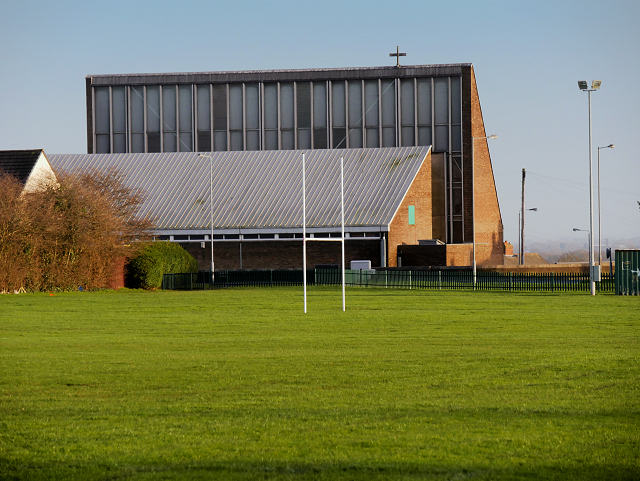
Image: © David Dixon Taken: 22 Jan 2016
Seen here from across the playing fields, the church was built in 1964 to serve a new housing estate, part of the post-war northern expansion of St Helens.
Images are licensed for reuse under creativecommons.org/licenses/by-sa/2.0
Image Location
Latitude
53.477146
Longitude
-2.726197