Former chapel at the bottom of New Street
Introduction
The photograph on this page of Former chapel at the bottom of New Street by Humphrey Bolton as part of the Geograph project.
The Geograph project started in 2005 with the aim of publishing, organising and preserving representative images for every square kilometre of Great Britain, Ireland and the Isle of Man.

There are currently over 7.5m images from over 14,400 individuals and you can help contribute to the project by visiting https://www.geograph.org.uk
Former chapel at the bottom of New Street
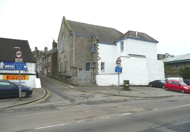
Image: © Humphrey Bolton Taken: 6 Jan 2016
The attached house looks too small for a manse, and was perhaps a caretaker's cottage.
Images are licensed for reuse under creativecommons.org/licenses/by-sa/2.0
Image Location
Latitude
50.168919
Longitude
-5.101267