Former National Schools, Penrhyn
Introduction
The photograph on this page of Former National Schools, Penrhyn by Humphrey Bolton as part of the Geograph project.
The Geograph project started in 2005 with the aim of publishing, organising and preserving representative images for every square kilometre of Great Britain, Ireland and the Isle of Man.

There are currently over 7.5m images from over 14,400 individuals and you can help contribute to the project by visiting https://www.geograph.org.uk
Former National Schools, Penrhyn
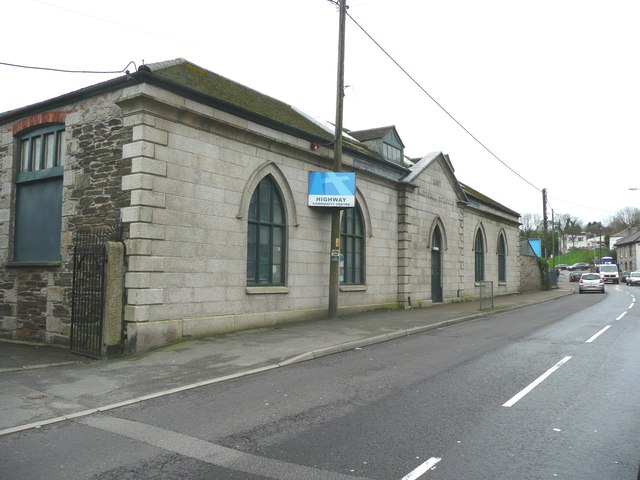
Image: © Humphrey Bolton Taken: 6 Jan 2016
The building is inscribed "1837 / National Schools" on the pediment over the door. It is now the Highway Community Centre.
Images are licensed for reuse under creativecommons.org/licenses/by-sa/2.0
Image Location
Latitude
50.170554
Longitude
-5.104034