Truro Lane, Penryn
Introduction
The photograph on this page of Truro Lane, Penryn by Humphrey Bolton as part of the Geograph project.
The Geograph project started in 2005 with the aim of publishing, organising and preserving representative images for every square kilometre of Great Britain, Ireland and the Isle of Man.

There are currently over 7.5m images from over 14,400 individuals and you can help contribute to the project by visiting https://www.geograph.org.uk
Truro Lane, Penryn
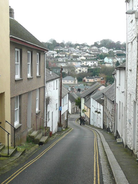
Image: © Humphrey Bolton Taken: 6 Jan 2016
This might have been the main road to Truro long ago, when roads were mere tracks. It continues on the other side of the valley as Truro Hill.
Images are licensed for reuse under creativecommons.org/licenses/by-sa/2.0
Image Location
Latitude
50.169162
Longitude
-5.105624