Drumlin country between the Mournes and Slieve Croob
Introduction
The photograph on this page of Drumlin country between the Mournes and Slieve Croob by Eric Jones as part of the Geograph project.
The Geograph project started in 2005 with the aim of publishing, organising and preserving representative images for every square kilometre of Great Britain, Ireland and the Isle of Man.

There are currently over 7.5m images from over 14,400 individuals and you can help contribute to the project by visiting https://www.geograph.org.uk
Drumlin country between the Mournes and Slieve Croob
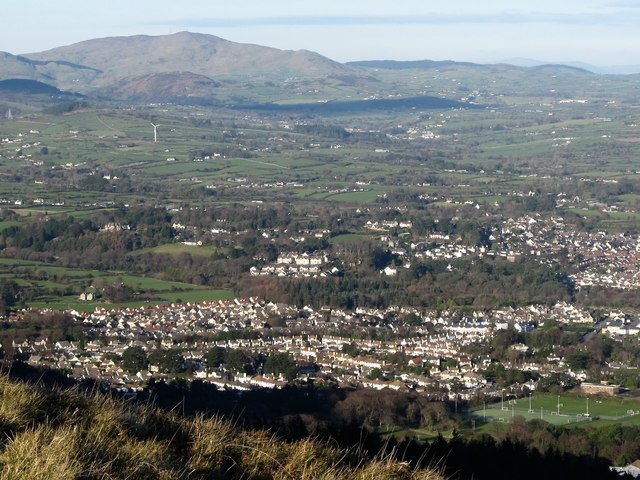
Image: © Eric Jones Taken: 20 Jan 2016
This drumlin landscape is part of a crescent of glacial deposits pushed up against the Mournes and Slieve Croob (the highest peak in the background) around 13,000 years ago. They are a young feature of the landscape - the granites uplands of the Mournes date back some 56 million years ago and those of Slieve Croob some 250 million years.
Images are licensed for reuse under creativecommons.org/licenses/by-sa/2.0
Image Location
Latitude
54.249885
Longitude
-5.926189