Ashton Brook near Swinfordmill Farm
Introduction
The photograph on this page of Ashton Brook near Swinfordmill Farm by Dave Dunford as part of the Geograph project.
The Geograph project started in 2005 with the aim of publishing, organising and preserving representative images for every square kilometre of Great Britain, Ireland and the Isle of Man.

There are currently over 7.5m images from over 14,400 individuals and you can help contribute to the project by visiting https://www.geograph.org.uk
Ashton Brook near Swinfordmill Farm
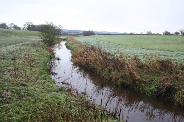
Image: © Dave Dunford Taken: 16 Jan 2016
Looking upstream along the Ashton Brook from the Longster Trail near Swinfordmill Farm. The footpath turns north at this point to cross the Mid-Cheshire railway line.
Images are licensed for reuse under creativecommons.org/licenses/by-sa/2.0
Image Location


Leaflet Map data © OpenStreetMap
Latitude
53.224725
Longitude
-2.771497