Ashton Hayes parish church
Introduction
The photograph on this page of Ashton Hayes parish church by Dave Dunford as part of the Geograph project.
The Geograph project started in 2005 with the aim of publishing, organising and preserving representative images for every square kilometre of Great Britain, Ireland and the Isle of Man.

There are currently over 7.5m images from over 14,400 individuals and you can help contribute to the project by visiting https://www.geograph.org.uk
Ashton Hayes parish church
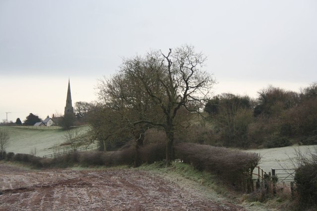
Image: © Dave Dunford Taken: 16 Jan 2016
Distant view of the Church of St John the Evangelist at Ashton Hayes, from Gongar Lane. The Baker Way footpath (Chester-Delamere) runs behind the hedge in the foreground. The church is Grade II listed [https://www.historicengland.org.uk/listing/the-list/list-entry/1330310] and was built in 1849.
Images are licensed for reuse under creativecommons.org/licenses/by-sa/2.0
Image Location
Latitude
53.223038
Longitude
-2.739714