The Old Chapel House
Introduction
The photograph on this page of The Old Chapel House by Alan Murray-Rust as part of the Geograph project.
The Geograph project started in 2005 with the aim of publishing, organising and preserving representative images for every square kilometre of Great Britain, Ireland and the Isle of Man.

There are currently over 7.5m images from over 14,400 individuals and you can help contribute to the project by visiting https://www.geograph.org.uk
The Old Chapel House
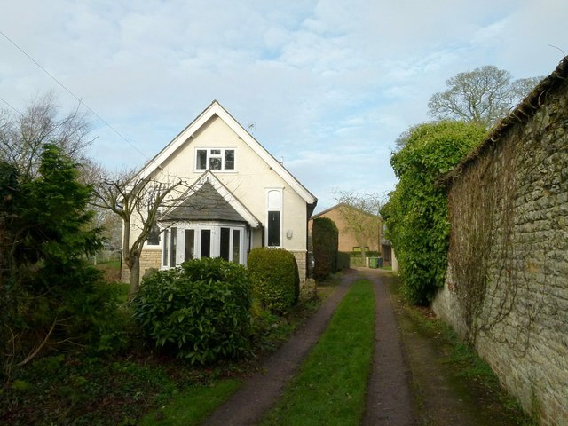
Image: © Alan Murray-Rust Taken: 19 Jan 2016
The name is the only obvious clue that this was once a Primitive Methodist chapel, although on looking closer there are clues. It appears to have gone out of use as such by the mid-20 century. It stands alongside Clatterpot Lane, which apparently takes its name from the sound of clattering dishes at the bakery which used to exists at the Main Street end of the lane.
Images are licensed for reuse under creativecommons.org/licenses/by-sa/2.0
Image Location
Latitude
52.713905
Longitude
-0.666496