19, Mill Lane, Cottesmore (The Farrier's House)
Introduction
The photograph on this page of 19, Mill Lane, Cottesmore (The Farrier's House) by Alan Murray-Rust as part of the Geograph project.
The Geograph project started in 2005 with the aim of publishing, organising and preserving representative images for every square kilometre of Great Britain, Ireland and the Isle of Man.

There are currently over 7.5m images from over 14,400 individuals and you can help contribute to the project by visiting https://www.geograph.org.uk
19, Mill Lane, Cottesmore (The Farrier's House)
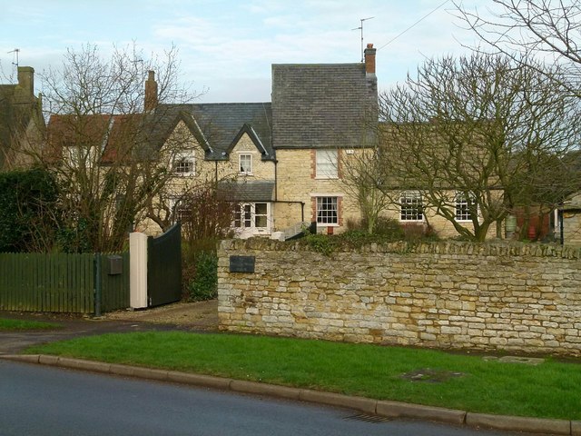
Image: © Alan Murray-Rust Taken: 19 Jan 2016
A house which has clearly grown piecemeal over the years, dating from the 18th century (probably the tall central section). Listed Grade II.
Images are licensed for reuse under creativecommons.org/licenses/by-sa/2.0
Image Location
Latitude
52.714789
Longitude
-0.665137