Whiteway Lane
Introduction
The photograph on this page of Whiteway Lane by Simon Carey as part of the Geograph project.
The Geograph project started in 2005 with the aim of publishing, organising and preserving representative images for every square kilometre of Great Britain, Ireland and the Isle of Man.

There are currently over 7.5m images from over 14,400 individuals and you can help contribute to the project by visiting https://www.geograph.org.uk
Whiteway Lane
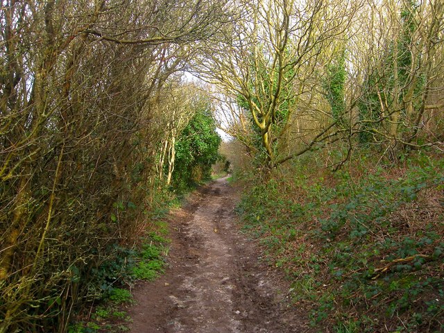
Image: © Simon Carey Taken: 16 Jan 2016
This section to the east of Chailey Avenue is a restricted byway as far as Bishopstone Drive. The track is off some antiquity and predates much of the building.
Images are licensed for reuse under creativecommons.org/licenses/by-sa/2.0
Image Location
Latitude
50.808276
Longitude
-0.050552