Hammer burial ground
Introduction
The photograph on this page of Hammer burial ground by Robin Webster as part of the Geograph project.
The Geograph project started in 2005 with the aim of publishing, organising and preserving representative images for every square kilometre of Great Britain, Ireland and the Isle of Man.

There are currently over 7.5m images from over 14,400 individuals and you can help contribute to the project by visiting https://www.geograph.org.uk
Hammer burial ground
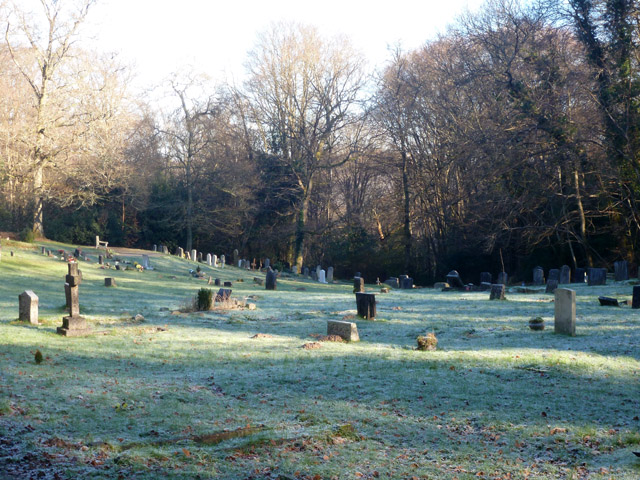
Image: © Robin Webster Taken: 20 Jan 2016
'Children under 14 visiting the burial ground must be accompanied by a responsible adult person', according to a sign at the entrance.
Images are licensed for reuse under creativecommons.org/licenses/by-sa/2.0
Image Location
Latitude
51.081336
Longitude
-0.756655