A village path
Introduction
The photograph on this page of A village path by Neil Owen as part of the Geograph project.
The Geograph project started in 2005 with the aim of publishing, organising and preserving representative images for every square kilometre of Great Britain, Ireland and the Isle of Man.

There are currently over 7.5m images from over 14,400 individuals and you can help contribute to the project by visiting https://www.geograph.org.uk
A village path
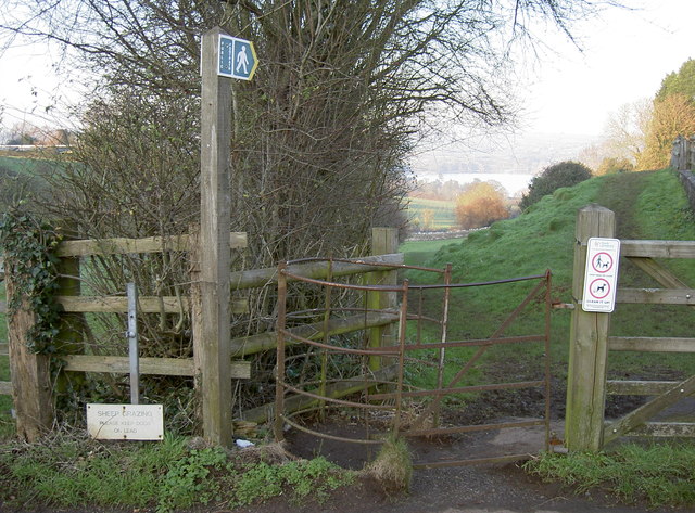
Image: © Neil Owen Taken: 20 Jan 2016
Blagdon is still a rural village, with many agricultural activities. The path leads through Timswell Batch to the church of St Andrew.
Images are licensed for reuse under creativecommons.org/licenses/by-sa/2.0
Image Location
Latitude
51.325843
Longitude
-2.715235