Denbigh Road, Mold, and a bench mark
Introduction
The photograph on this page of Denbigh Road, Mold, and a bench mark by John S Turner as part of the Geograph project.
The Geograph project started in 2005 with the aim of publishing, organising and preserving representative images for every square kilometre of Great Britain, Ireland and the Isle of Man.

There are currently over 7.5m images from over 14,400 individuals and you can help contribute to the project by visiting https://www.geograph.org.uk
Denbigh Road, Mold, and a bench mark
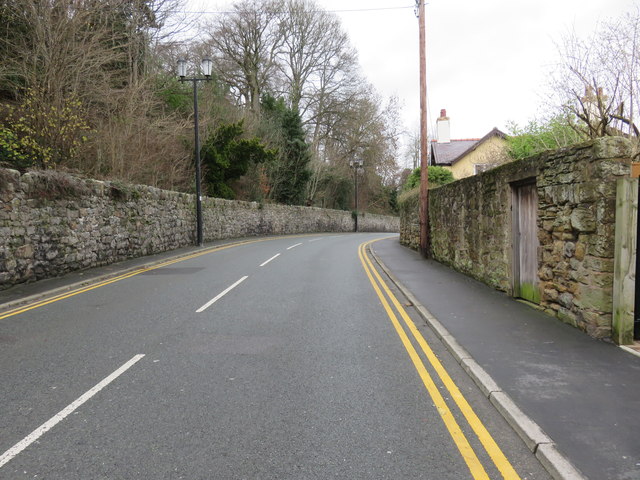
Image: © John S Turner Taken: 13 Jan 2016
Looking along Denbigh Road in front of Hermon house. There is an Ordnance Survey bench mark on the right between the driveway and the pink door - see Image
Images are licensed for reuse under creativecommons.org/licenses/by-sa/2.0
Image Location
Latitude
53.170032
Longitude
-3.14496