Building site off Grange Farm Lane
Introduction
The photograph on this page of Building site off Grange Farm Lane by Robin Webster as part of the Geograph project.
The Geograph project started in 2005 with the aim of publishing, organising and preserving representative images for every square kilometre of Great Britain, Ireland and the Isle of Man.

There are currently over 7.5m images from over 14,400 individuals and you can help contribute to the project by visiting https://www.geograph.org.uk
Building site off Grange Farm Lane
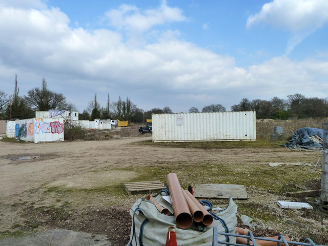
Image: © Robin Webster Taken: 1 Apr 2013
This appears to be for a further phase of the Chigwell Grange development, but has an air of not proceeding very fast.
Images are licensed for reuse under creativecommons.org/licenses/by-sa/2.0
Image Location
Latitude
51.630874
Longitude
0.080025