Altered road layout, Dunchurch Highway
Introduction
The photograph on this page of Altered road layout, Dunchurch Highway by E Gammie as part of the Geograph project.
The Geograph project started in 2005 with the aim of publishing, organising and preserving representative images for every square kilometre of Great Britain, Ireland and the Isle of Man.

There are currently over 7.5m images from over 14,400 individuals and you can help contribute to the project by visiting https://www.geograph.org.uk
Altered road layout, Dunchurch Highway
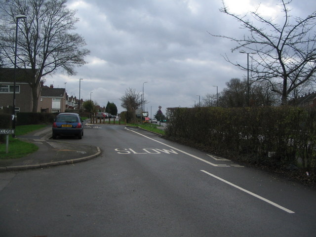
Image: © E Gammie Taken: 26 Dec 2015
Until recently this was a one-way road between its junction with Brookside Avenue and Broad Lane, where it had a traffic-light controlled exit onto Broad Lane and the A45. This was altered to give it a junction onto the A45 just before Lyndale Road and made two-way between Brookside Avenue and Rembrandt Close with a short section of one way between Rembrandt Close and the exit onto the A45. This required a short section of cycle lane contra-flow, hence the strange set of road markings seen here.
Images are licensed for reuse under creativecommons.org/licenses/by-sa/2.0
Image Location
Latitude
52.408813
Longitude
-1.559237