The south east side of Mold cemetery
Introduction
The photograph on this page of The south east side of Mold cemetery by John S Turner as part of the Geograph project.
The Geograph project started in 2005 with the aim of publishing, organising and preserving representative images for every square kilometre of Great Britain, Ireland and the Isle of Man.

There are currently over 7.5m images from over 14,400 individuals and you can help contribute to the project by visiting https://www.geograph.org.uk
The south east side of Mold cemetery
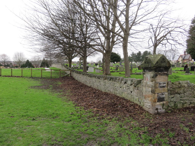
Image: © John S Turner Taken: 13 Jan 2016
Looking along the south east side of Mold cemetery. There is an unrecorded Ordnance Survey bench mark on the right of the corner post - see Image The nearest field is a playing field, and on the other side of the fence the cemetery has been extended.
Images are licensed for reuse under creativecommons.org/licenses/by-sa/2.0
Image Location
Latitude
53.164282
Longitude
-3.135234