Ordnance Survey Benchmark - Sawtry, The Bell Inn
Introduction
The photograph on this page of Ordnance Survey Benchmark - Sawtry, The Bell Inn by N Scott as part of the Geograph project.
The Geograph project started in 2005 with the aim of publishing, organising and preserving representative images for every square kilometre of Great Britain, Ireland and the Isle of Man.

There are currently over 7.5m images from over 14,400 individuals and you can help contribute to the project by visiting https://www.geograph.org.uk
Ordnance Survey Benchmark - Sawtry, The Bell Inn
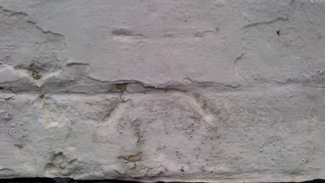
Image: © N Scott Taken: 11 Jan 2016
Ordnance Survey Benchmark (OSBM) used for levelling height above Ordnance Datum (OD). Height: 7.0013m OD (Newlyn). Mark verified by the Ordnance Survey in 1966. Description: THE BELL INN S ANG SW FACE. 0.4m above ground. 3rd Order BM. Context: Image
Images are licensed for reuse under creativecommons.org/licenses/by-sa/2.0
Image Location
Latitude
52.433722
Longitude
-0.280299