Former lodge on the corner of Hall Drive
Introduction
The photograph on this page of Former lodge on the corner of Hall Drive by Ian Calderwood as part of the Geograph project.
The Geograph project started in 2005 with the aim of publishing, organising and preserving representative images for every square kilometre of Great Britain, Ireland and the Isle of Man.

There are currently over 7.5m images from over 14,400 individuals and you can help contribute to the project by visiting https://www.geograph.org.uk
Former lodge on the corner of Hall Drive
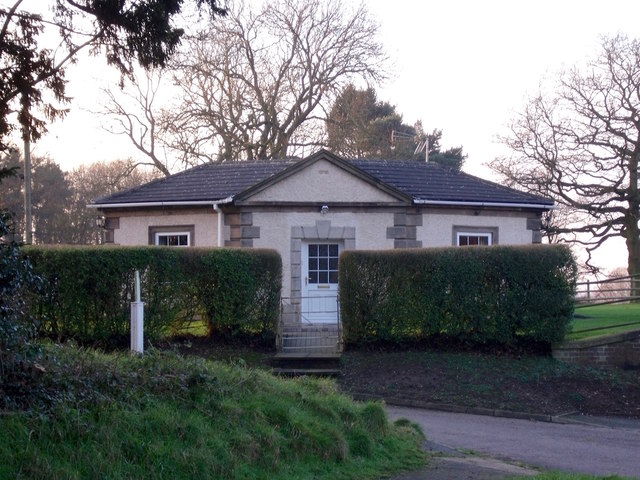
Image: © Ian Calderwood Taken: 19 Jan 2016
Now called Rhodeside, this used to be a lodge for Doveridge Hall, until it was demolished in 1938.
Images are licensed for reuse under creativecommons.org/licenses/by-sa/2.0
Image Location
Latitude
52.908622
Longitude
-1.831938