The old road to Uttoxeter
Introduction
The photograph on this page of The old road to Uttoxeter by Ian Calderwood as part of the Geograph project.
The Geograph project started in 2005 with the aim of publishing, organising and preserving representative images for every square kilometre of Great Britain, Ireland and the Isle of Man.

There are currently over 7.5m images from over 14,400 individuals and you can help contribute to the project by visiting https://www.geograph.org.uk
The old road to Uttoxeter
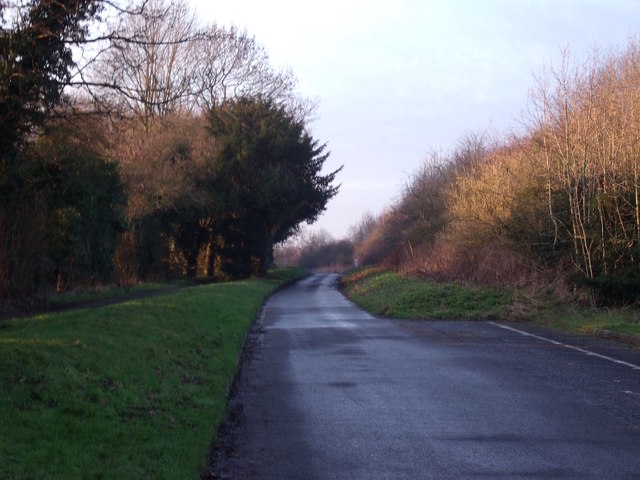
Image: © Ian Calderwood Taken: 19 Jan 2016
This used to be part of the dual carriageway that lead down the hill to Uttoxeter. When Doveridge was bypassed in the late 90s, the old route was closed. This section was retained for local access only.
Images are licensed for reuse under creativecommons.org/licenses/by-sa/2.0
Image Location
Latitude
52.908261
Longitude
-1.830899